Council’s AI Map Puts Auchterarder Halfway to St Fillans; Locals Ask for Directions Home
Bridge of Earn and Stanley relocated north-east 'for orientation purposes'; Methven briefly becomes a Highland adventure.
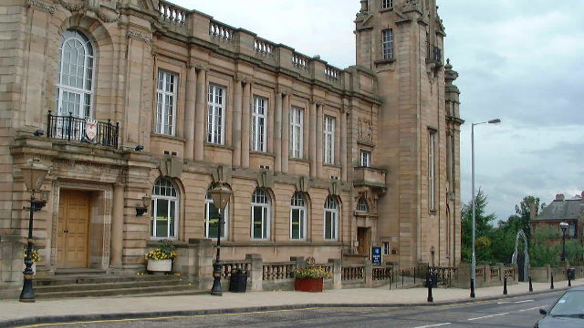
A map, creatively interpreted. Photo: Original uploader was Bentie85 at en.wikipedia, “Hamilton Library 2002”, via Wikimedia Commons, Public domain
PERTH — Perth and Kinross Council has apologised after an AI-generated map, published ahead of a public-transport meeting, placed several towns in locations that would surprise even a satnav on a gap year.
Bridge of Earn and Stanley appeared north-east of Perth on the way to Errol. Methven found itself en route to Kenmore. Auchterarder ended up roughly halfway to St Fillans, which Auchterarder says it “did not ask for and will not be packing for”.
A council spokesperson said AI tools were used for visual presentation, that the coloured zones were about bus-service risk rather than precise geography, and that the map was printed at a lower resolution than intended. They apologised for the confusion.
“I found my house,” said fictional Crieff resident Moira Hogg. “It was in Kinross. Nice garden, wrong postcode.”
Councillors meet Wednesday to consider an in-house public transport business case and community-transport investment. Separately, a fictional Perthetic Map Correction Desk has opened in a drawer marked ‘Do Not Use AI for Towns’.
The real story: Council apologises for AI-generated map placing towns in wrong locations (The Courier, 27 Oct 2026)
Letters to the Editor
The views expressed are those of the reader, and frankly that's on them.
-
Found my house in Kinross. Nice garden. Wrong life.
— Moira H., Crieff, 27 October 2026 -
Auchterarder near St Fillans sounds like a holiday I didn’t book.
— Dougie K., Blairgowrie, 27 October 2026 -
Can AI put Broxden somewhere else. Asking for everyone.
— Janice M., Craigie, 27 October 2026
Write to the Editor